[Pictures to the SE and further round were too far into the sun to be interesting, despite showing Nott'm castle.]
|
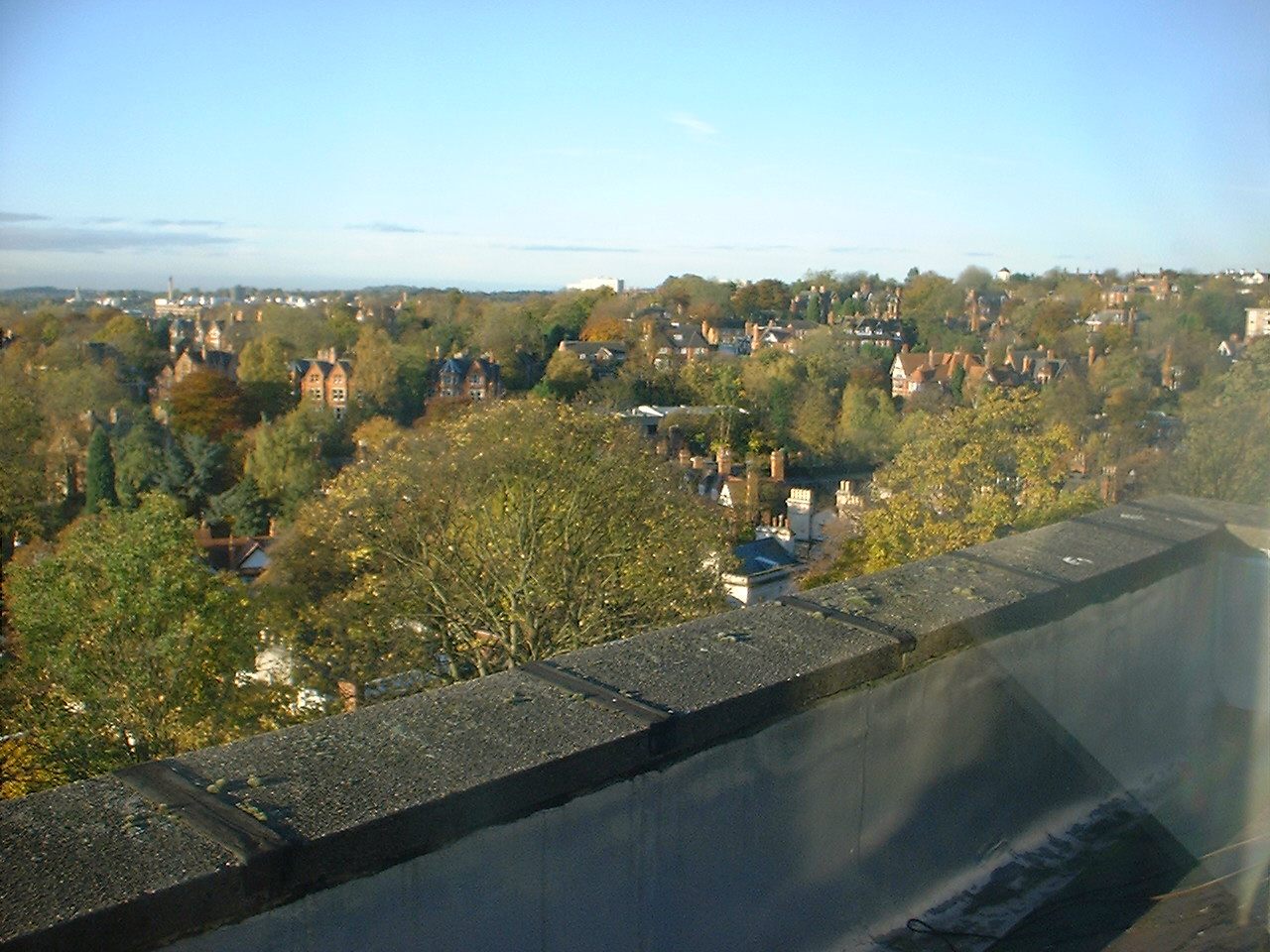
| View to the west. Most of the view is of The Park, originally an open, lightly-wooded parkland belonging to the castle, but laid out in the 19thC for residential use. Nottingham University is just below the horizon to the left of the photo; the big chimney is for the central heating system; the smaller tower to its left [better seen if you blow the picture up to full size] is that of Trent Building, the central admin building on University Park. |
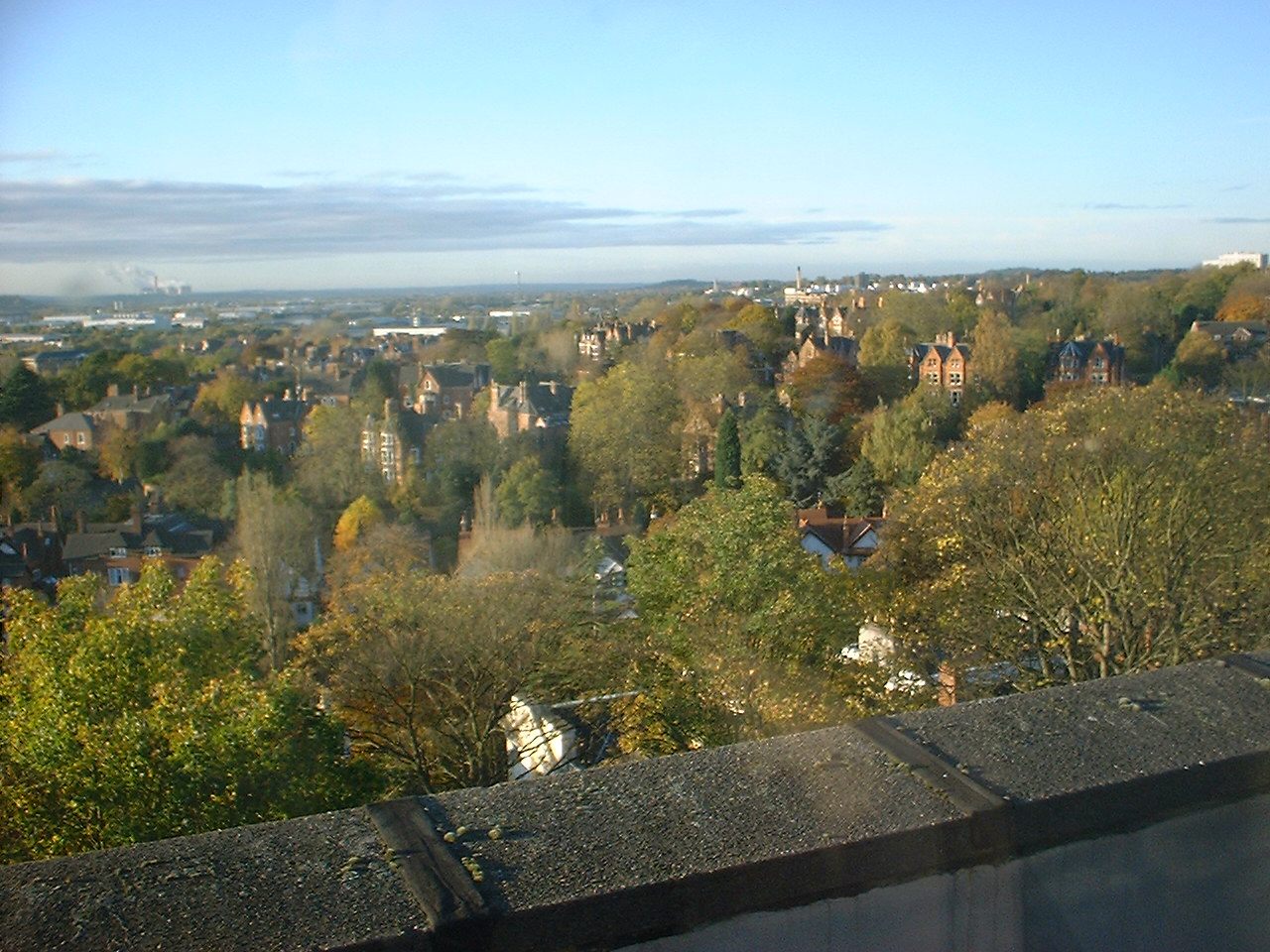
| View to the south west. The University is now to the right of centre, and near the horizon on the left is Ratcliffe power station, about 8 miles [12km] away as the crow flies. On a "sharp seeing" day, eg a sunny day after a shower has cleared out the dust from the atmosphere, the control tower of Nottingham East Midlands Airport [10 miles, 16km] can be seen to the right of the power station; the airport itself and Derby are hidden by the hills. |
|
|
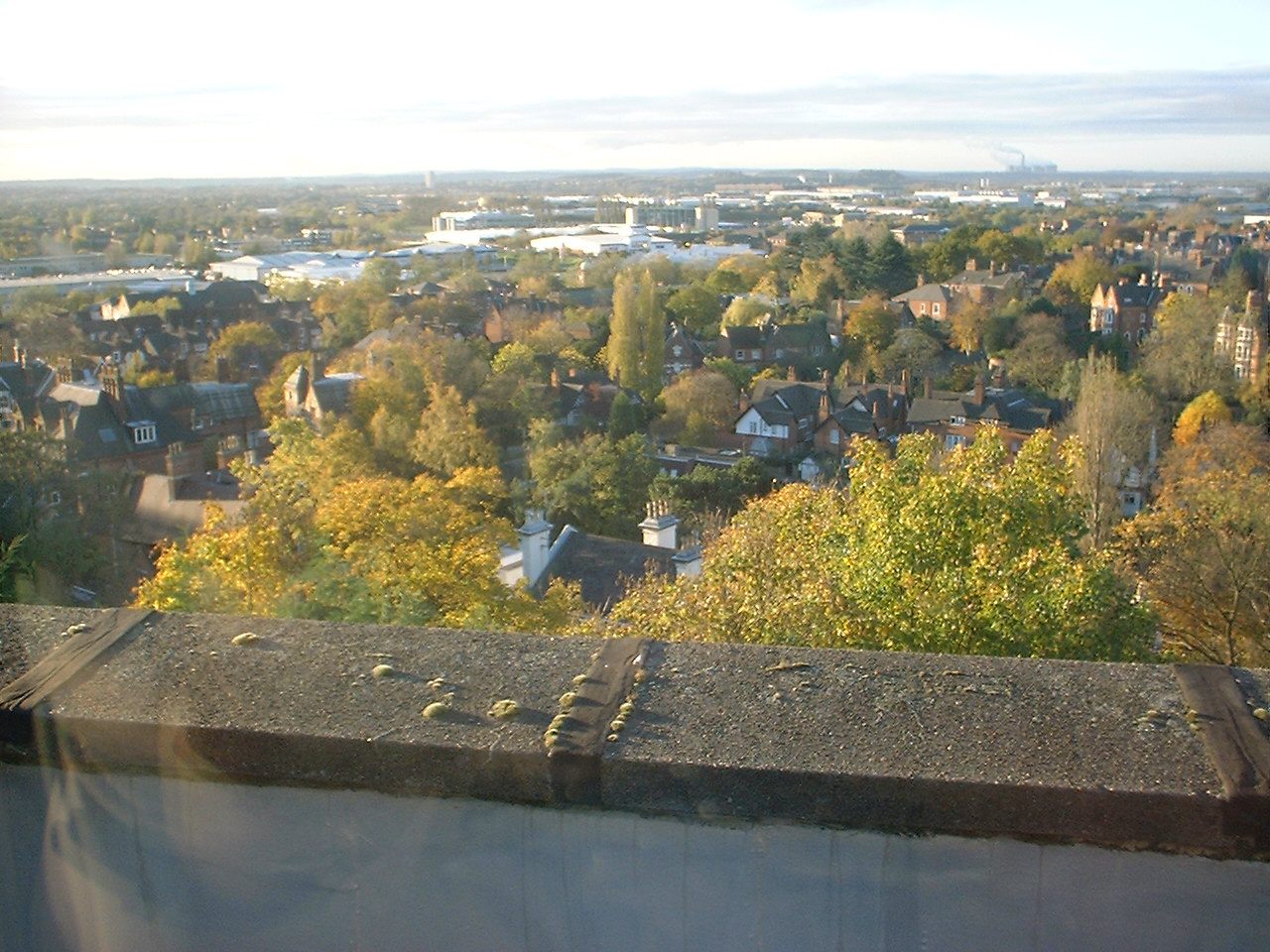
| View to the south. The power station is on the right. The little white patch visible among the trees in the distance near the left of the photo is the River Trent. The horizon comprises the rolling hills and woods of south Notts; towards the left of the picture, you can see well into Leics, especially again on a really clear day. |
| [Pictures to the SE and further round were too far into the sun to be interesting, despite showing Nott'm castle.] |